
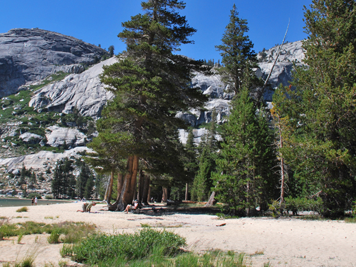
Name:
93-VBK-65
Latitude: N37°50.091'
Longitude: W119°27.086'
Elevation: 2491m
Location: Tenaya Lake
GPS Accuracy: 4m
Direction: 110
Photo Date: 8/1/2008
Time: 2:45pm
Latitude: N37°50.091'
Longitude: W119°27.086'
Elevation: 2491m
Location: Tenaya Lake
GPS Accuracy: 4m
Direction: 110
Photo Date: 8/1/2008
Time: 2:45pm
Vale (1994) Reference: 65
Photo Year: 1989

USGS Reference:
Photographer: National Park Service
Year: ?

Photo Credits: N.Wasserman (2008); Vale & Vale (1994). University of Utah Press; USGS
Inquires
- email the photographer